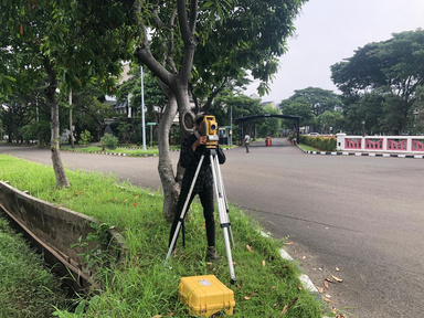
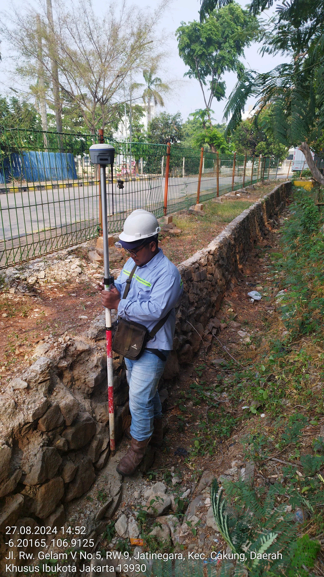
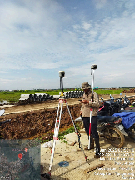
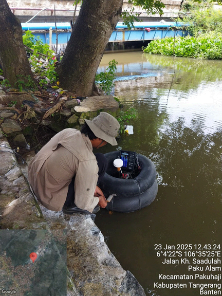
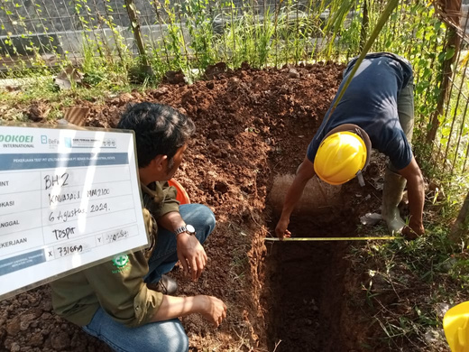
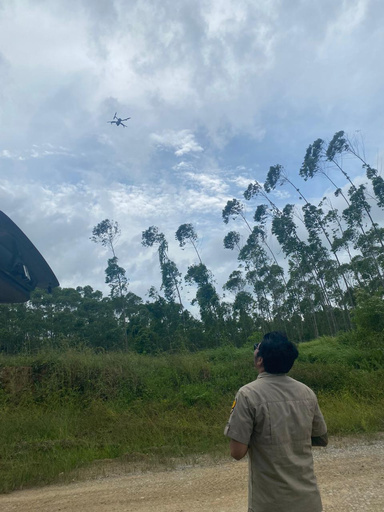
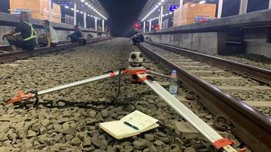
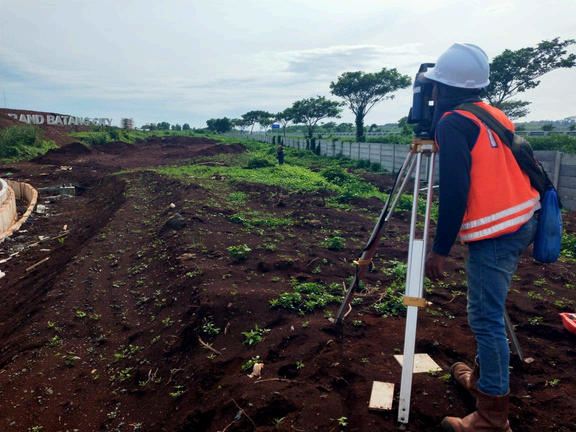
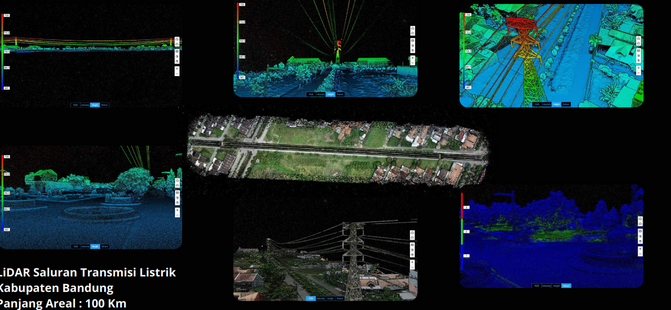
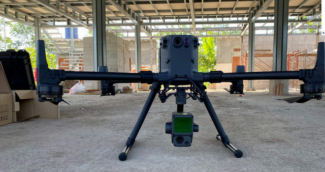
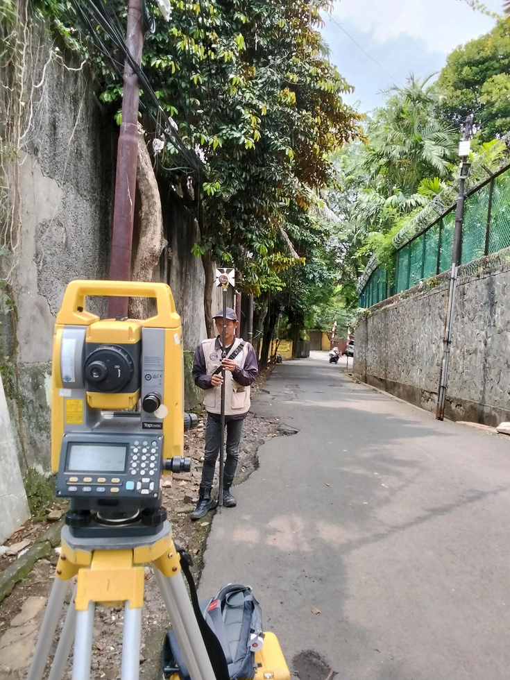
Survey Mapping - Professional Geotechnical Services | Kanetech Perkasa

Survey Mapping

Professional land surveying and topographic mapping services using advanced GPS and total station technology.

Surveying

Service Overview

Professional land surveying and topographic mapping services using advanced GPS and total station technology.

Detailed Information

Our survey mapping services utilize cutting-edge GPS technology and total station equipment to provide accurate topographic surveys, boundary surveys, and construction layout services. We deliver precise mapping data essential for project planning and design.

Key Features

  • Topographic Surveys
  • Boundary Surveys
  • Construction Layout
  • GPS Positioning
  • Digital Mapping

Applications

Site Development
Infrastructure Planning
Property Boundaries
Construction Projects